
Description
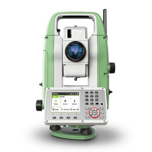
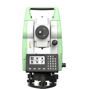
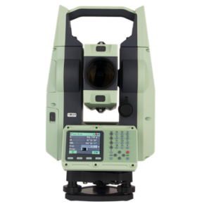
| Leica FlexLine TS10 Manual Total Station | |
|---|---|
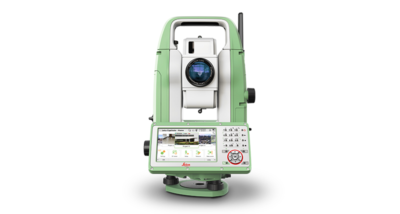
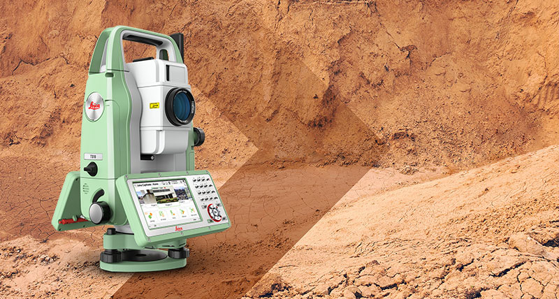
| Product Overview | Leica FlexLine TS10 is a high-end manual total station designed for high-demand surveying applications. Equipped with Leica Captivate software, it enables users to work efficiently in a modern 3D data environment. |
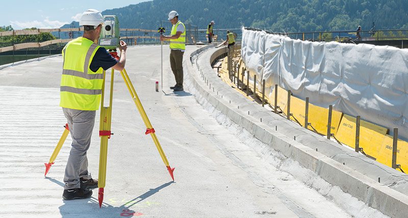
| Applications | Surveying & Mapping, Building Construction, Civil Engineering, Layout and Stakeout Projects. |
| 3D Data Visualization | Supports advanced 3D views of measured data, allowing users to visualize and manage survey information more effectively. |
| Benefits for Construction Managers | Minimizes survey crew downtime, helping projects remain on schedule and within budget. |
| Benefits for Survey Managers | Industry-leading durability improves reliability and planning certainty. |
| Benefits for Surveyors | Measure more points per day with fewer errors and reduced rework, improving field productivity. |
| FlexLine Series Advantage | Built on a proven Leica Geosystems concept that has revolutionized measurement and surveying technology for nearly 200 years. |
| Quality & Durability | Provides exceptional quality, low total cost of ownership, and long-lasting performance in demanding environments. |
| AutoHeight Technology | World’s first optional AutoHeight feature automatically measures, reads, and sets the instrument height. |
| AutoHeight Benefits | Eliminates manual setup effort, reduces critical setup errors, and automatically transfers height measurements to the software. |
| Measurement Method | Uses an integrated laser to measure the distance to the ground and automatically determine instrument height. |
| Software | Leica Captivate Software – comprehensive, intuitive, and application-based field software platform. |
| Software Features | User-friendly interface, advanced workflows, 3D visualization, quality assurance tools, and efficient field data collection. |
| Productivity Enhancement | Capture more survey points while maintaining high accuracy and seamless integration with modern 3D data workflows. |
| Connectivity | Optional mobile internet connectivity enables real-time communication between field and office operations. |
| Data Transfer | Supports seamless data flow and efficient exchange of project information between field crews and office staff. |
| Service & Support | Backed by Leica Geosystems’ trusted global service network and best-in-class technical support. |
| Active Customer Care | Provides access to software updates, maintenance services, technical assistance, and customer support resources. |
| myWorld Portal | Online customer platform offering software updates, support resources, service information, and device management tools. |
| mySecurity Protection | Advanced anti-theft security feature that disables the instrument if unauthorized use is detected. |
| Key Advantages | High-end performance, 3D data visualization, AutoHeight automation, Leica Captivate software, seamless connectivity, superior durability, and comprehensive global support. |
| Leica FlexLine TS10 – Key Benefits | |
|---|---|
| Work Faster | Measure more points per day with faster measurement and stakeout procedures, increasing overall field productivity and efficiency. |
| Leica Captivate Software | Revolutionary Leica Captivate field software simplifies workflows, improves data management, and enhances the overall user experience. |
| Enhanced Productivity | Intuitive software and efficient measurement routines help complete survey tasks more quickly while reducing operational complexity. |
| Ease of Use | User-friendly interface and streamlined workflows make field operations easier, faster, and more enjoyable. |
| Trouble-Free Operation | Designed for dependable day-to-day performance, ensuring maximum uptime and reliable operation in the field. |
| Global Service & Support | Supported by Leica Geosystems’ worldwide network of service centers, technical experts, and customer support professionals. |
| Reduced Downtime | Reliable hardware and comprehensive support services help minimize interruptions and keep projects on schedule. |
| Built to Last | Engineered for long-term durability and dependable performance in demanding construction and surveying environments. |
| Harsh Environment Performance | Maintains consistent operation in challenging conditions including mud, dust, heavy rain, extreme heat, and freezing temperatures. |
| Long-Term Accuracy & Reliability | Continues to deliver the same high level of measurement accuracy and reliability even after years of intensive field use. |
| Key Advantages | Faster measurements, efficient stakeout procedures, Leica Captivate software, minimal downtime, global support, superior durability, and long-lasting accuracy. |