

Survey & Geospatial
Survey & Geospatial instruments are essential for accurate land measurement, mapping, and spatial data analysis across various engineering and infrastructure projects. At Aimco, we offer a wide range of advanced surveying equipment designed to deliver precise and reliable results in field conditions.
Our solutions are widely used for applications such as land surveying, topographic mapping, construction layout, and geospatial data collection. These instruments help professionals capture accurate measurements, improve project planning, and ensure efficiency in execution while meeting industry standards.
Engineered with modern technology and user-friendly features, our Survey & Geospatial equipment ensures high accuracy, durability, and consistent performance. Whether for large-scale infrastructure projects or detailed site analysis, our instruments support reliable data collection and informed decision-making.
Showing all 9 results
-
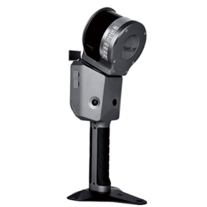
Cygnus 2 Handheld Scanner
Read more -
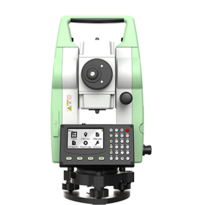
Leica TS01 Total Station
Read more -
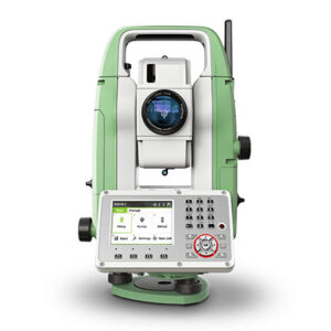
Leica TS07 Manual Total Station
Read more -
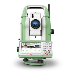
Leica TS10 Manual Total Station
Read more -
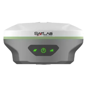
SL8 Laser RTK Receiver
Read more -
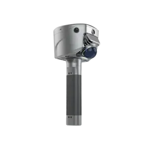
SL9 SLAM RTK
Read more -
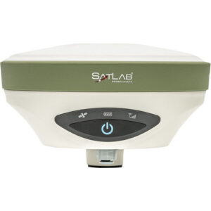
SL900 GNSS Receiver
Read more -
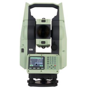
SLT10 Total Station
Read more -
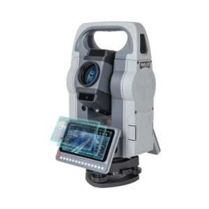
SLT12 Android Total Station
Read more