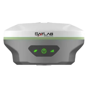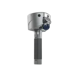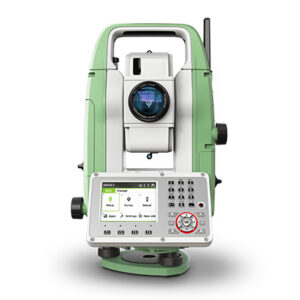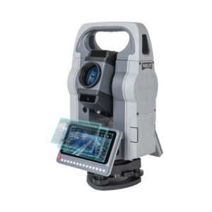

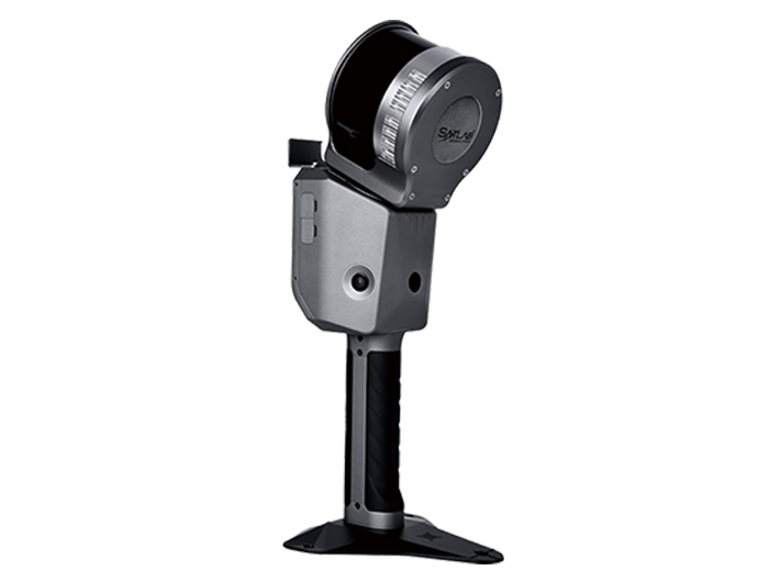
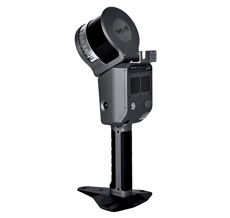
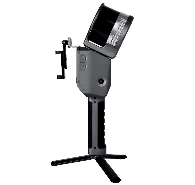
Description
1. Unmatched Accuracy
Achieve precision with 1.5 cm accuracy through advanced GNSS RTK and visual SLAM integration.
2. Real-Time Processing
Instant 3D modeling and data export with powerful processors and advanced SLAM algorithms.
3. Portable and Lightweight
Weighting only 1.9 kg with a 90-minute battery life, it’s perfect for large projects and reduces operator fatigue.
Applications
- Topographic Mapping
- Volume Calculation
- Agriculture & Forestry Survey
- Emergency Mapping
- Engineering
- Underground Space