Description
| Feature | Description |
|---|---|
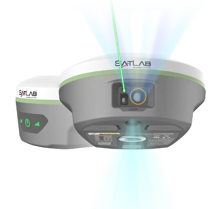
| Laser Measurement | Achieve up to 2 cm accuracy within 10 meters using Laser RTK technology, even in GNSS-denied environments. Ideal for bridges, tunnels, riverbanks, and other challenging survey locations where traditional GNSS solutions cannot operate effectively. |
| Image-assisted Targeting | Laser points are directly overlaid on real-time images in SatSurv software, allowing users to quickly locate and accurately target distant objects. This visual workflow significantly improves on-site speed, efficiency, and confidence. |
| Automotive-grade IMU | The advanced automotive-grade IMU requires no manual calibration or initialization. Simply power on and start measuring. It delivers stable and accurate results while improving positioning efficiency by up to 40% in GNSS-challenged environments. |
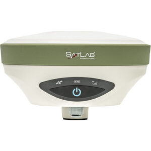
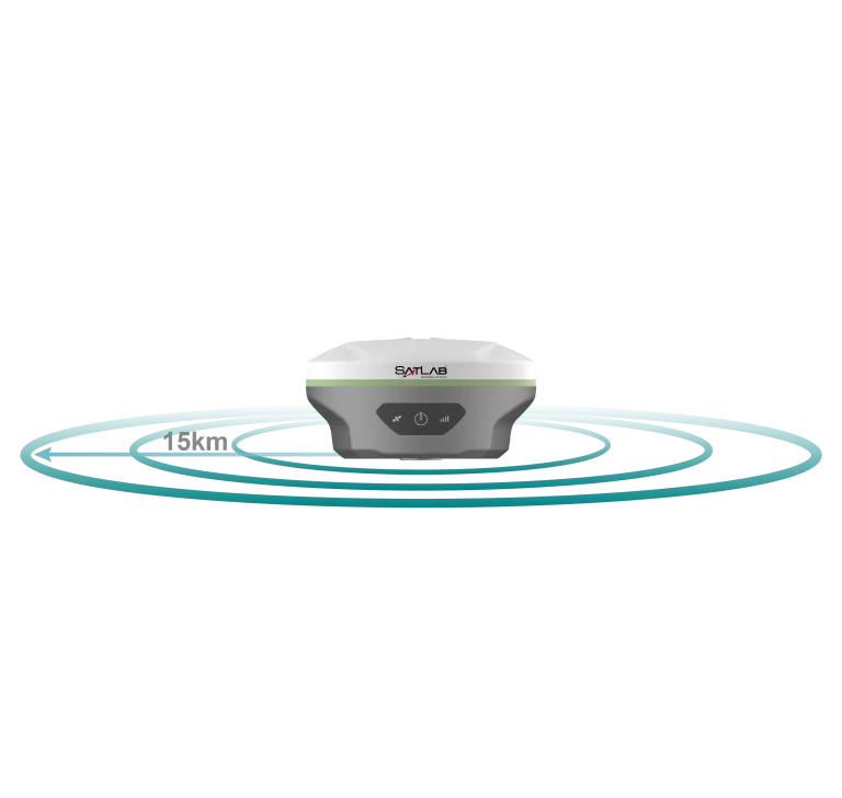
| Extended-Range LoRa Communication | Equipped with a built-in multi-protocol LoRa transceiver, the SL8 supports stable communication over distances exceeding 15 km and offers compatibility with multiple RTK brands. Proprietary LoRa algorithms ensure reliable long-range signal transmission. |
| CAD & Visual Stakeout | A powerful CAD engine combined with real-scene imagery enables direct visual and CAD-based stakeout operations. Users can easily identify target points on-site, resulting in safer operations and up to 50% faster layout efficiency. |
| Application Area |
|---|
| Engineering & Construction Surveying |
| GNSS-Denied Environments |
| Stockpile & Volume Measurement |
| Bridge & Tunnel Mapping |
| Facade & Elevation Surveys |
| Rivers & Hazardous Areas |
| GIS Data Collection |