
Description
| Feature | Description |
|---|---|
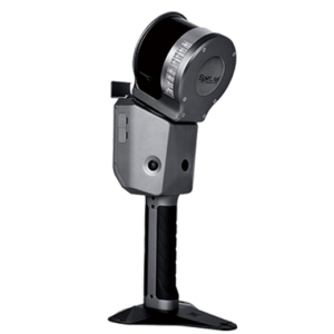
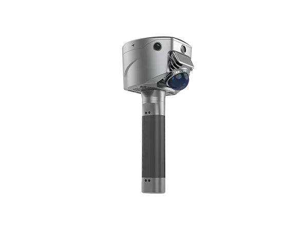
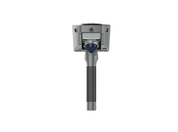
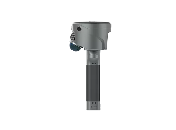
| New Image Measurement Experience | Equipped with four HD cameras and advanced SLAM technology, the SL9 SLAM RTK delivers a new image measurement experience. Using Satsurv software, users can simply select a target point in the image to calculate real-time 3D coordinates with up to 5 cm accuracy. |
| RTK + SLAM Integration | SL9 combines RTK and SLAM technologies for seamless cross-environment measurement. Outdoors, the RTK receiver provides centimeter-level positioning, while in GNSS-challenged areas such as under bridges or semi-indoor spaces, the system automatically switches to SLAM reverse positioning for uninterrupted measurements. |
| Boundaryless Surveying | Powered by high-performance point cloud processing on Android, Satsurv software enables efficient 3D terrain data collection and real-time earthwork volume calculations with simple operation. |
| Real-Time Volume Calculation | The system supports instant volume calculations directly in the field, helping surveyors and engineers improve productivity and reduce processing time. |
| Unified Coordinate System | Equipped with a high-precision RTK module, SL9 ensures unified coordinate output across environments. Point cloud data can be directly exported in BLH/NEZ coordinates, enabling a smooth field-to-office workflow without control points or loop closure requirements. |
| Strong Signal & High-Quality Data | Supports full-constellation tracking including GPS, Galileo, GLONASS, BeiDou, and NAVIC with enhanced signal robustness in urban environments. BDS B2b, Galileo HAS, and QZSS L6 technologies ensure centimeter-level reliability even without base stations. |
| Application Area |
|---|
| Semi-Open Environment Surveys |
| 3D Facility Mapping |
| Engineering Surveys |