
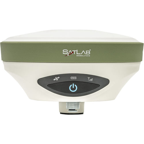
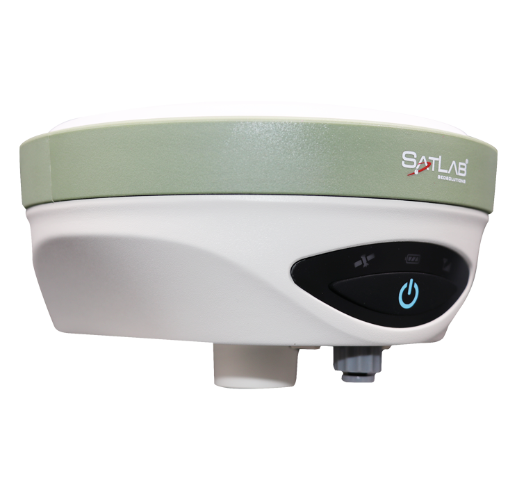
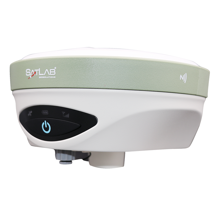
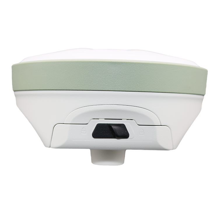
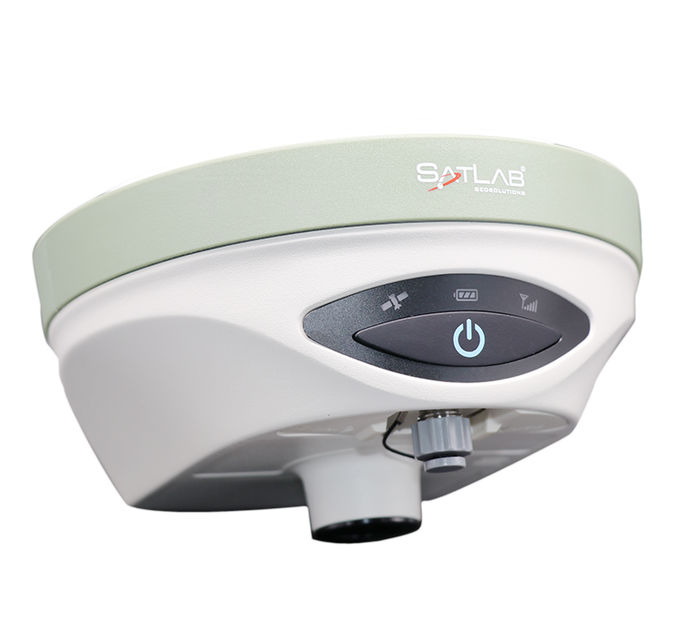
Description
| Feature | Description |
|---|---|
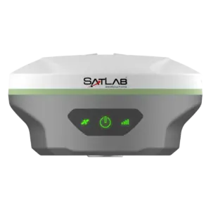
| Tilt Compensation Solution | Designed to improve survey efficiency, the tilt compensation solution reduces the time required for offsetting slanted measurements. Combined with the GNSS antenna, the receiver can save up to 20% of field time compared to conventional surveying methods while enhancing user safety and convenience. |
| Efficient and Dependable | Powered by an advanced GNSS engine, the receiver provides precise positioning and strong interference mitigation performance, even in challenging environments. With 1408-channel tracking capability, it supports all current and upcoming satellite signals, delivering sub-meter to centimeter-level accuracy in RTK, PPK, and Static modes. |
| Satellite Correction Service | Equipped with TerraStar capabilities, the GNSS receiver utilizes a global network of multi-GNSS reference stations and advanced algorithms to provide highly precise satellite orbit, clock, and correction data for enhanced positioning accuracy and reliability. |
Applications
| Application Area |
|---|
| Mapping |
| Land Survey |
| Topography and As-built |
| Landfill |
| Hydrographic |
| Agriculture |
| Sensor Applications |
| UAV Base Station |